
HYDROGRAPHIC SURVEYING
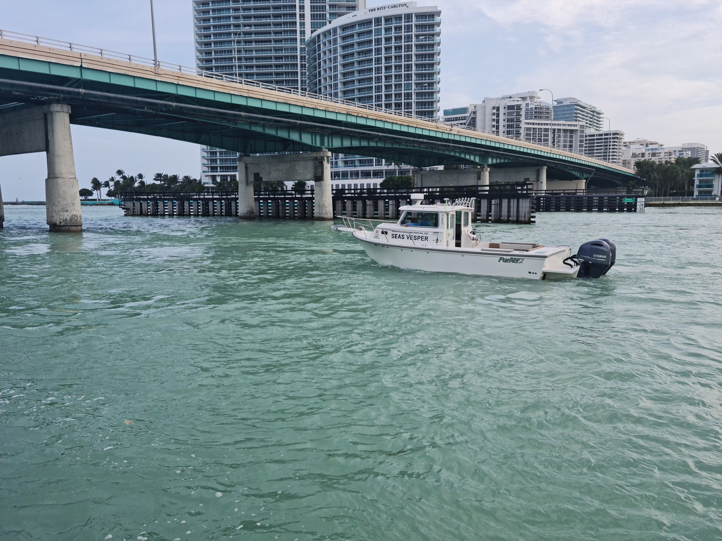
Seaside Engineering & Surveying, LLC (SEAS) has extensive experience performing hydrographic surveys and is recognized nationally as a leader in Hydrographic Surveying. SEAS specializes in singlebeam, multibeam and side scan sonar surveys, with magnetometer and sub-bottom profiling. Our crews have worked on almost every major navigable inland waterway, many coastal waterways, lakes and nearshore coastal projects. SEAS has also provided hydrographic services for ports and facilities in the Bahamas and Caribbean, including AUTEC Navy Base on Andros Island.
Our hydrographic experience includes:
Navigation Channel Condition Surveys for USACE Electronic Nautical Charting
Dredge Payment
Pipeline Construction
Emergency Harbor Clearance (Post Hurricane)
Dam & Bridge Scouring
Hydroelectric Power Plant Construction and FERC Monitoring
Revetment Construction MS River BC and Memphis Bank Grading Unit
Coastal Engineering (Beach Restoration Renourishment)
Offshore Archeological Clearance
Sedimentation Monitoring


HYDROGRAPHIC SURVEY PERSONNEL
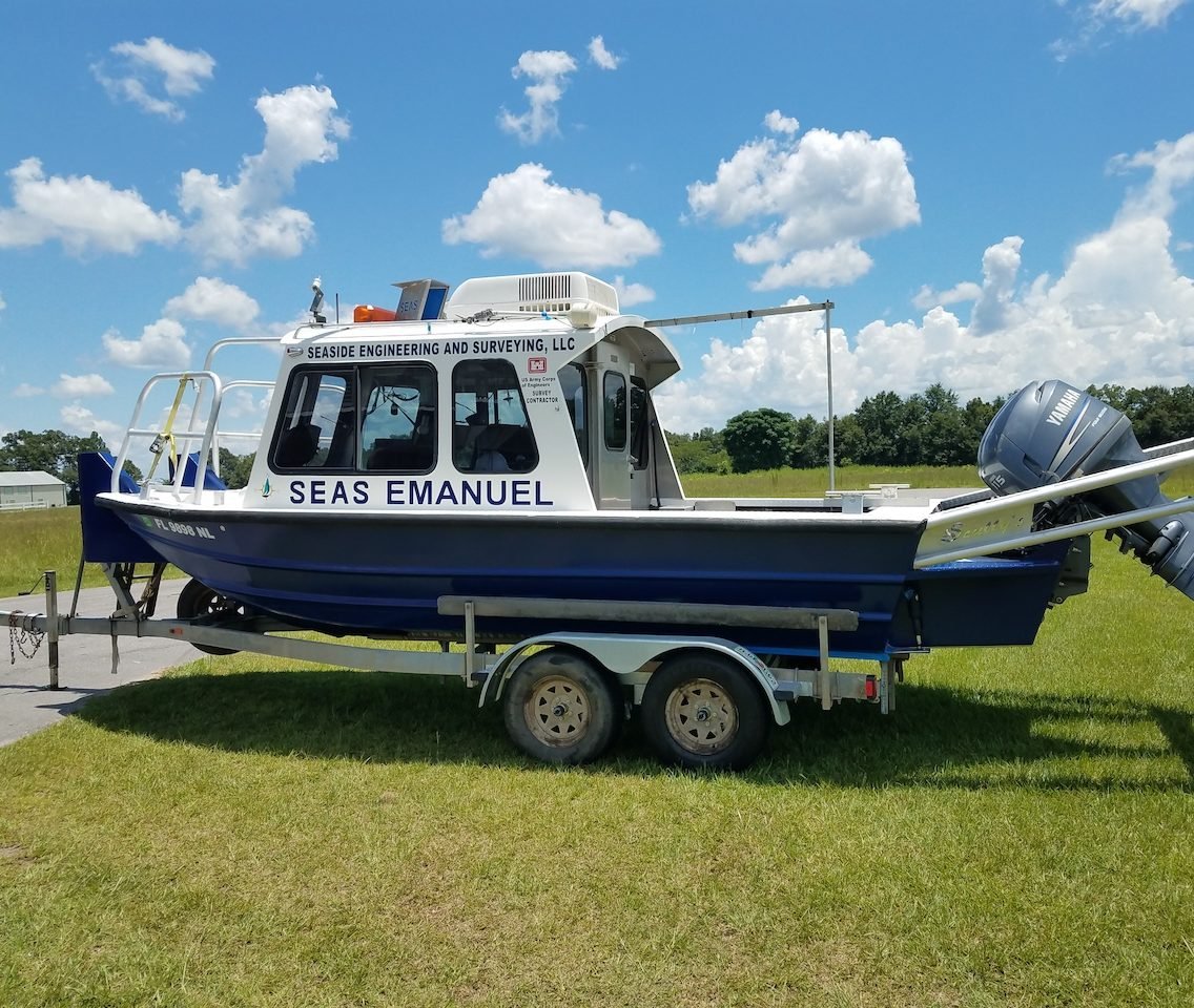
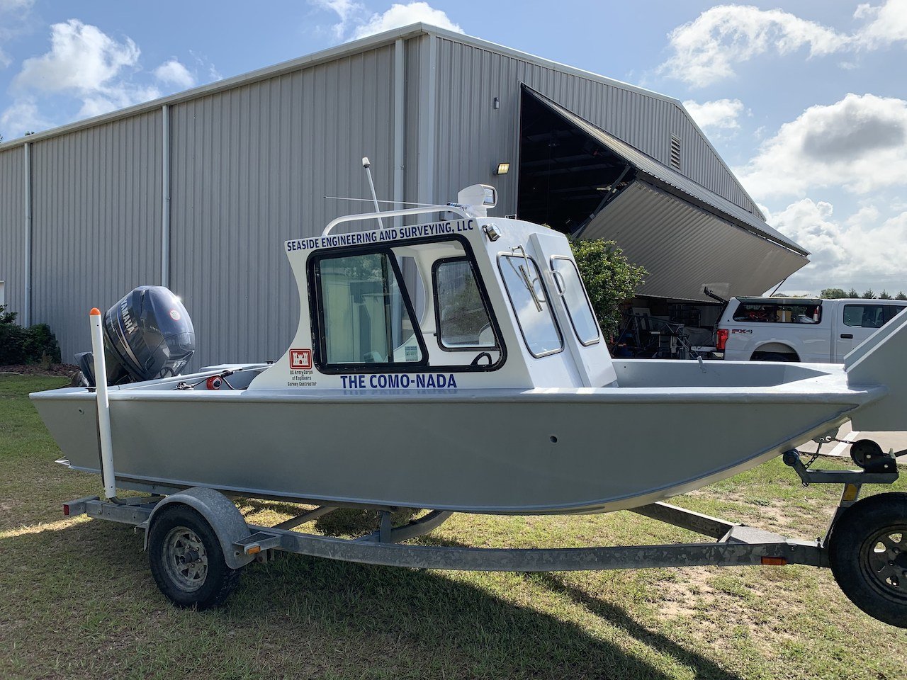
SEAS personnel are very familiar with Horizontal and Vertical Reference Datums, position and depth accuracy, bottom coverage density requirements, and the procedures for attaining those requirements as set forth in the Engineering Survey Manual. SEAS Hydrographic Project Manager, John Gustin has 30+ years hydrographic survey experience, seeing the evolution of hydrographic survey systems from Tag Line/Lead Line to RTK GNSS/Multibeam. Mr. Gustin is Florida licensed Professional Surveyor and Mapper (PSM) and a US Coast Guard licensed Captain. SEAS has 4 hydrographic survey Crew Chiefs all of which are US Coast Guard licensed Captains. All of SEAS hydrographic survey Crew Chiefs are also efficient in Control Surveys and singlebeam and multibeam hydrographic data processing with Hypack.
HYDROGRAPHIC SURVEY PROJECTS
SEAS has been a prime contractor for the U.S. Army Corps of Engineers (USACE) since 2002 and has performed hydrographic surveys critical to safe navigation on many of the nation’s primary waterways and dam safety on over 50 locks and dams. These surveys have been Special Order, Order 1 and Order 2 as defined in the USACE “Engineering and Design Hydrographic Surveying Manual EM 1110-2-1003. SEAS has completed projects for the following USACE Districts:
RECENT CASE STUDIES

