
ARLINGTON, TENNESSEE OFFICE
At Seaside Surveying and Engineering, we pride ourselves on delivering top-notch surveying and engineering services tailored to meet the unique needs of our clients across Tennessee, Arkansas, Mississippi, and beyond. With our second location now serving the vibrant communities of Memphis, Nashville, and surrounding areas, we bring our expertise closer to you, ensuring prompt and reliable solutions for all your surveying needs.
OUR SERVICES
-
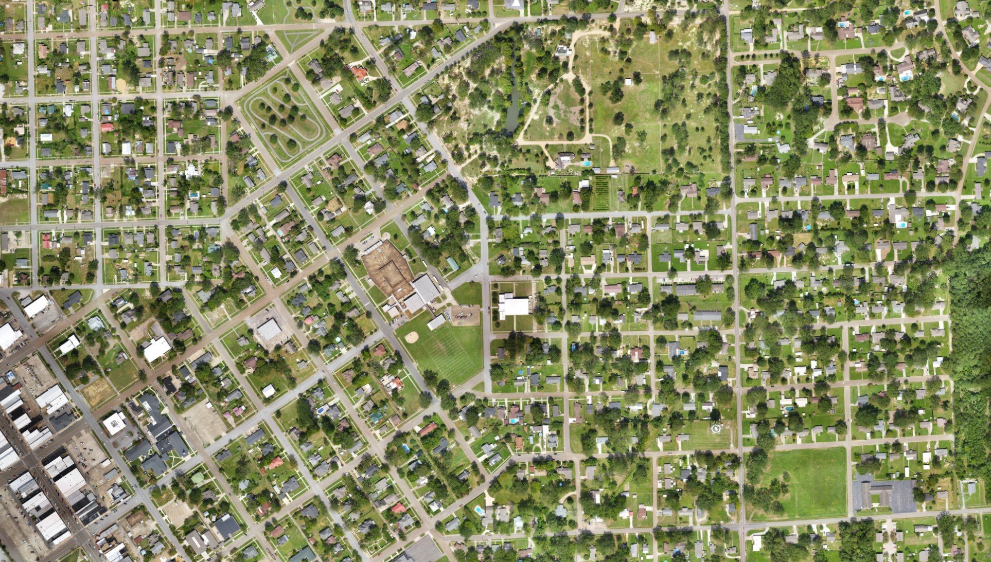
Our expert team utilizes state-of-the-art equipment and cutting-edge techniques to provide accurate topographic surveys that capture detailed land features and contours, empowering you with essential data for informed decision-making in land development projects across Memphis, Nashville, and beyond.
-
Description text goes hereWhether you're a property owner, developer, or real estate professional, our boundary surveys offer precise delineation of property lines, ensuring clarity and compliance with legal requirements in West Tennessee, North Mississippi, and surrounding areas.
-
Seaside Surveying and Engineering specializes in delivering ALTA surveys that adhere to the rigorous standards set by the American Land Title Association (ALTA), providing comprehensive insights into property boundaries, easements, and encroachments for commercial real estate transactions in Millington, Bartlett, Germantown, and beyond.
-
Our experienced surveyors excel in providing accurate construction layout services, facilitating seamless project execution and optimal site utilization for construction projects in Jackson, West Memphis, and throughout the region.
-
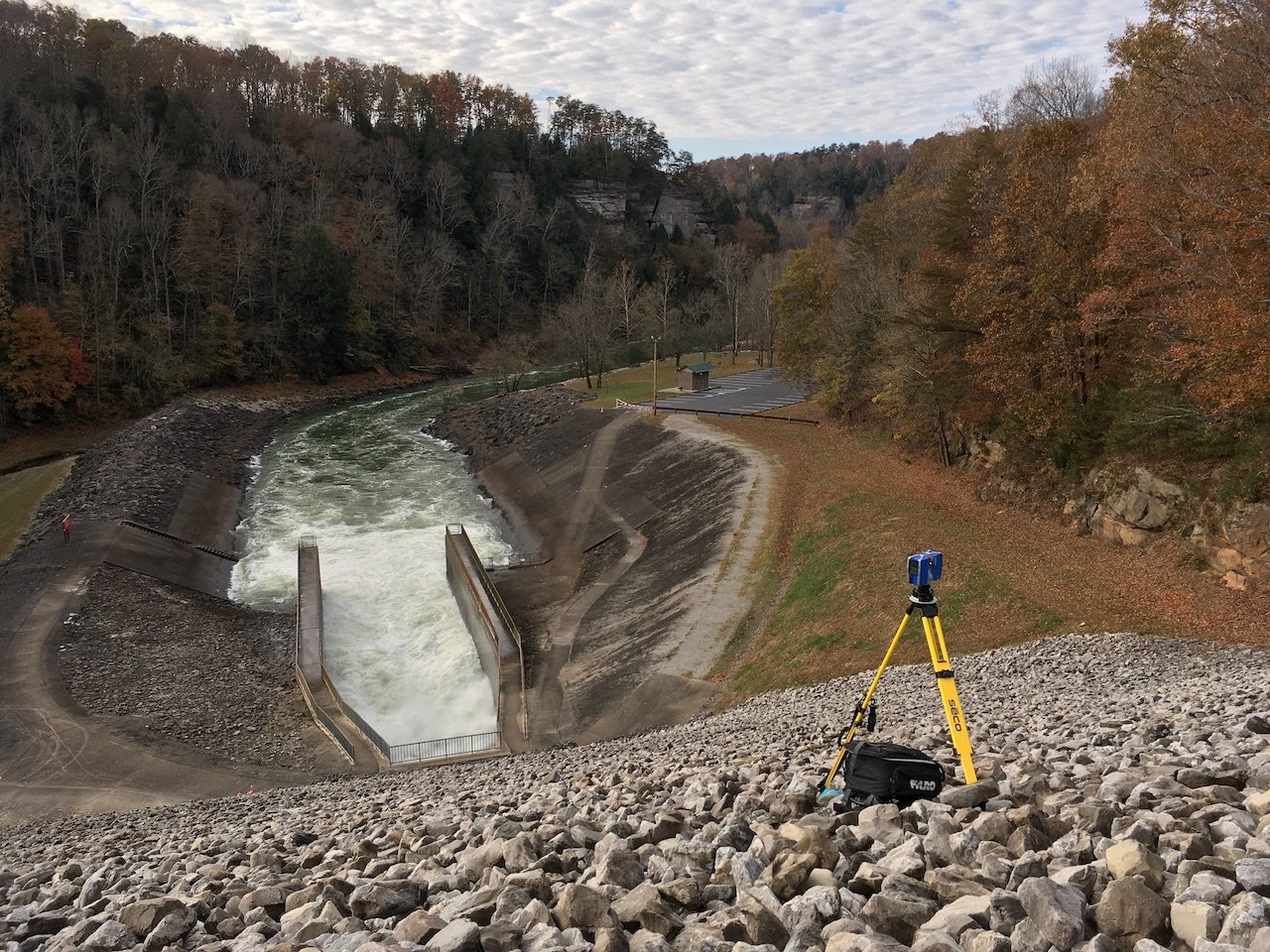
With our hydrographic surveys, we offer precise mapping of underwater terrain and features, essential for coastal engineering, marine construction, and environmental monitoring projects along the Mississippi River and other water bodies in the vicinity. SEAS has performed Hydrographic Surveys on almost all of the major inland waterways such as the Arkansas, Allegheny, Black, Black Warrior, Clinch, Cumberland, Elk, Green, Hiwassee, Illinois, Kaskaskia, Kanawha, Lower Mississippi, Missouri, Minnesota, Mobile, Monongahela, Ohio, Ouachita, Red, St. Croix, St. Johns, Tennessee, Tenn-tom waterway, Tombigbee, Upper Mississippi, Yazoo, and various other rivers. Whether it’s a port, the Mississippi river, or a small pond or stream. SEAS has the tools to collect the data.
-
Leveraging the latest LIDAR technology, we offer high-resolution mapping and 3D modeling solutions that enable detailed visualization and analysis of terrain, infrastructure, and environmental features across Tennessee, Arkansas, and beyond.
WHY CHOOSE SEAS, ARLINGTON?
Expertise: Our team comprises seasoned professionals with extensive experience in surveying and engineering, ensuring superior quality and accuracy in every project we undertake.
Cutting-Edge Technology: We invest in the latest surveying equipment and technologies to deliver precise results efficiently and cost-effectively.
Customer-Centric Approach: At Seaside Surveying and Engineering, customer satisfaction is our top priority. We work closely with our clients to understand their specific requirements and deliver tailored solutions.
Local Knowledge, Global Expertise: With our second location strategically located in the Memphis and Nashville area, we combine local expertise with the resources of a reputable surveying and engineering firm with a national reach.