Beneath the Surface: 3D Mapping for Safer Waterways
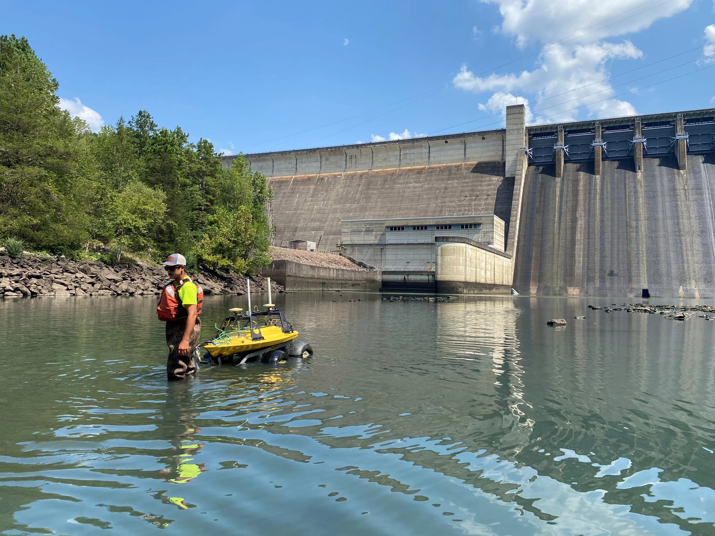
Z boat in the basin
Our team is conducting hydrographic surveys across several critical U.S. Army Corps of Engineers projects in the Little Rock District. The work includes:
Comprehensive surveys of the stilling basins and upstream forebay areas at Greers Ferry Dam and Beaver Dam, two key reservoir projects.
Surveys of stilling basins, lock chambers, and upstream approaches.
Using advanced multi-beam hydrographic mapping and side scan sonar imaging, we are developing detailed 3D models of the basins, forebays, spillway faces, and lock structures. This work provides a precise picture of underwater conditions, helps identify scour and sedimentation, and supports proactive maintenance planning.
Our crews are deploying both manned and unmanned survey vessels, equipped with state-of-the-art technology including the Kongsberg EM2042 multibeam echosounder, Applanix POS MV positioning and motion system, Edgetech 4125 (600/1600 kHz) side scan sonar, and a Z-Boat USV with R2Sonic 2020 multibeam system.
The resulting high-resolution data and digital terrain models will provide the Corps of Engineers with the information needed to ensure these structures continue to function safely and effectively for flood control, navigation, and water management.
Monitoring the scanning
Raw EM2042 Multibeam data


